Apply for Courses
Topic outline
-
Below is a list of courses and workshops with registration. In order to apply, you must be registered & logged in on this platform. Go to Log in (top right side) to log in or create an account.
Next, select the course you are interested in, fill in the Application form & submit it. You will be contacted as soon as the selection of candidates is completed.
We are also hosting a number of online short training sessions, such as the:- Data Access Services sessions - Click here for more info
- Data Discovery for Weather, Oceanography, Air Quality and Climate short courses - Click here to apply.
For a complete list of all our training, check out the calendar. -
-
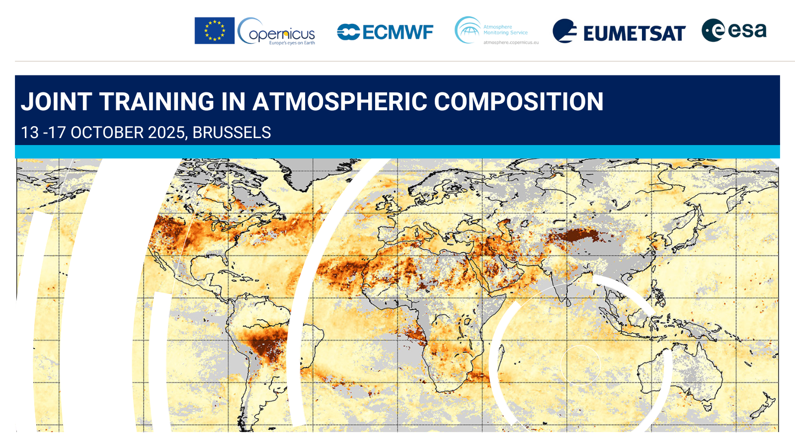
The European Organisation for the Exploitation of Meteorological Satellites (EUMETSAT), the European Space Agency (ESA), and the European Center for Medium-Range Weather Forecasts (ECMWF) with the Copernicus Atmosphere Monitoring Service (CAMS) are organising the seventh joint training course on Atmospheric Composition.
Whilst the topics of the training cover the main processes involved in atmospheric composition monitoring and modelling, the focus this year will be more on Advanced Atmospheric Composition Products & Applications with an emphasis on aerosols.
Dates: 13 to 17 October 2025
Location: Brussels, hosted by the Royal Belgian Institute for Space Aeronomy BIRA-IASB .Additional key dates:
- 29 June 2025: deadline for registrations at 24:00 CEST.
- Mid July 2025: notification to selected participants.
- 1-2 and 9-10 October 2025 (tentative dates): online lectures.
Target audience
The course is targeted to post-graduate level students, researchers, professionals or anyone interested in furthering their knowledge of atmospheric composition monitoring and modelling and developing their practical skills in data handling.
Some basic background in physics, chemistry, mathematics and computing is assumed, and elementary familiarity with Python programming would be beneficial to make the most of the training.
Whilst the onsite training is limited to around 30 participants, the online lectures preceding the onsite phase will be streamed to a wider audience.When selecting candidates for the on-site training, participants from Copernicus contributing countries and member states of ESA and EUMETSAT will be given preference. Students from all other countries are also welcome to apply, subject to availability of space.
Financial support (for accommodation in Brussels) will be available upon request for a limited number of participants. Priority will be given to candidates from Copernicus contributing countries or working on an EU project.
For more information on the joint training: https://atmostraining.info/ ;
How to apply
If you already have an account on this platform, use the link below to submit your application form. Otherwise, please make sure you create an account: click on Login (on the top right section of the page), create a new user (Create an account), and follow the procedure. With your new account, please log in, then access the 'Apply for Courses' section, and submit your application form. -
This satellite applications course in English language is suitable for forecasters in Africa, independent of their work experience. The course will introduce the participants with the new operational MTG satellite, its instruments and capabilities for different weather applications in Africa.
We will explore the new capabilities of MTG in live session and discussions as well as in weather briefings.
You will improve your skills in : (a) Finding the new satellite products using openly available data sources such as EUMETVIew, b) Using the information for monitoring the weather in your forecasting office and c) Being a competent user of virtual course technology.
As a participant, you will develop professional relationships with other course participants, get connected to satellite professionals ready to help you to understand the new satellite capabilities, and to become a proficient user of the latest satellite products in your daily work.Applications closed. Accepted participants will be informed 12 March 2025. -
LES CANDIDATURES SONT FERMÉES
Ce cours sur les applications satellitaires, dispensé en français, est destiné aux prévisionnistes d'Afrique, quelle que soit leur expérience professionnelle. Il présentera aux participants le nouveau satellite opérationnel MTG, ses instruments et ses capacités pour diverses applications météorologiques en Afrique.
Les nouvelles capacités de MTG seront explorées à travers des sessions en direct, des discussions interactives et des briefings météorologiques.
Vous améliorerez vos compétences dans les domaines suivants : (a) Trouver les nouveaux produits satellitaires en utilisant des sources de données librement accessibles telles que EUMETView, (b) Utiliser les informations pour surveiller la météo dans votre bureau de prévision et (c) Être un utilisateur compétent de la technologie des cours virtuels.
Comme participant, vous pourrez développer des relations professionnelles avec d'autres participants au cours, être en contact avec des professionnels des satellites qui seront prêts à vous aider à comprendre les nouvelles capacités des satellites, et à devenir un utilisateur compétent des plus récents produits satellitaires dans votre travail quotidien.31 mars-18 avril 2025, en ligne
Les candidatures sont fermées. Les participants acceptés seront informés le 12 mars 2025.
-
ESSL and EUMETSAT organize a series of testbeds to prepare forecasters from the EUMETSAT Member States to use the data from Meteosat Third Generation (MTG) and Metop Second Generation (Metop-SG) satellites. These testbeds are organized both to teach forecasting severe convective storms, using state-of-the-art or even experimental forecasting tools, and to evaluate such tools. Forecasters will learn by making severe weather forecasts and nowcasts using a mix of new nowcasting and forecasting tools, followed by a verification. Particular focus will be given to the use of MTG satellite data and products, from both FCI and LI sensors. In addition, a range of state-of-the-art nowcasting tools and numerical weather prediction-based guidance (i.e. from DWD, ZAMG, ESSL, and ECMWF) will be evaluated.
Target group: Forecasters from the EUMETSAT Member States who train other forecasters and forecasters with a strong background in severe storms meteorology.
Location & dates
All testbeds will take place at ESSL Research and Training Centre (Wiener Neustadt, Austria).- 5 - 9 May 2025
- 12 - 16 May 2025 (COURSE FULL! No seats available!)
- 2 -6 June 2025 (COURSE FULL! No seats available!)
- 1 - 5 September 2025
- 13 - 17 October 2025 (COURSE FULL! No seats available!)
Monday: 10:00 - 17:00 | Tuesday - Thursday: 09:00 - 17:00 | Friday: 09:00 - 13:00
Weekly schedule: Candidates need to come from EUMETSAT Member States and have a nomination by their home institution. For accepted candidates, EUMETSAT plans to sponsor the cost of testbed attendance and, upon request, the cost for travel, accommodation and subsistence.
How to apply:
If you already have an account on this platform, login to it before proceeding. Otherwise, please make sure you create an account: click on Login (top right section of the page), create a new user (Create an account) and follow the procedure. Once the account has been created, please log in.
PLEASE NOTE: It is mandatory to complete a test before filling in the application form. The test results will be used to refine the activities of the testbed and adjust the difficulty levels to best match participants' needs. After submitting the test, you will be able to submit the application form. If you have any problem, please contact the Training team at training@eumetsat.int.
-
Quiz
We invite you to take this test to assess your current understanding of the topic. Your results will help us tailor the testbed activities to better suit your needs.
Once you complete the test, apply using this questionnaire. -
QuestionnaireApply for a Testbed in 2025 Questionnaire
-
The Autumn School on Satellite Data Analysis aims to bring together the academic community and National Meteorological Services (NMS) to explore the use of satellite data and Satellite Application Facility (SAF) products in various application areas.
Participants will gain hands-on experience in navigating data platforms, accessing and processing satellite data for developing custom applications and research projects.
The workshop will focus on the following topics:
- Basics of remote sensing with satellites, emission, absorption, channels, data access and handling
- MTG FCI RGB images and LI products
- Land applications - LSA SAF products
- Precipitation and moisture - HSAF products
- Atmospheric composition - AC SAF products
- Nowcasting - NWC SAF products
Target Audience
University master students, PhD students, young professionals from universities in the region and researchers in NMHSs.
How to apply
If you already have an account on this platform, use the link below to submit your application form.
Otherwise, please make sure you create an account: click on Login (top right section of the page), create a new user (Create an account) and follow the procedure. Once the account has been created, please log in, then apply using the link below. If you have any problem, please contact the Training Team (training@eumetsat.int).
Location: Athens, GreeceDates: 3-7 November 2025Daily timetable: 09-17 hApplication Deadline: 01 September 2025 -
To apply for the courses in the Short Courses on Data Discovery for Weather, Oceanography, Air Quality and Climate, please click here.